The Philip's Pocket Star Atlas


The Philip's Pocket Star Atlas
Regular price
Checking stock...
Regular price
Checking stock...
Résumé
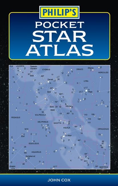
Contains a series of maps showing the entire night sky, as well as useful astronomical data. This atlas presents the sky in a series of 16 maps, showing stars down to magnitude 5.5. This means that all stars are visible to the naked eye in semi-rural conditions.
The feel-good place to buy books
- Free delivery in the UK
- Supporting authors with AuthorSHARE
- 100% recyclable packaging
- B Corp - kinder to people and planet
- Buy-back with World of Books - Sell Your Books
The Philip's Pocket Star Atlas by John Cox
"The Philip's Pocket Star Atlas" is a highly practical atlas in a compact format for use out of doors. It contains a series of maps showing the entire night sky, as well as a mass of useful astronomical data. It is suitable for use anywhere in the world. This popular atlas is now in its fourth edition, for which it has been revised, updated and expanded. It presents the sky in a series of 16 maps, showing stars down to magnitude 5.5. This means all stars are visible to the naked eye in semi-rural conditions.
John Cox is co-developer, with Richard Monkhouse, of the astronomy catalogue imaging program 'Starry8', which has been used to generate the maps in the Pocket Star Atlas. He is based in Norfolk.
| SKU | Non disponible |
| ISBN 13 | 9780540087921 |
| ISBN 10 | 0540087920 |
| Titre | The Philip's Pocket Star Atlas |
| Auteur | John Cox |
| Série | Philip's Astronomy |
| État | Non disponible |
| Type de reliure | Paperback |
| Éditeur | Octopus Publishing Group |
| Année de publication | 2005-10-16 |
| Nombre de pages | 64 |
| Note de couverture | La photo du livre est présentée à titre d'illustration uniquement. La reliure, la couverture ou l'édition réelle peuvent varier. |
| Note | Non disponible |