Picture Atlas of the World (Revised-3rd Edition)


Picture Atlas of the World (Revised-3rd Edition)
Regular price
Checking stock...
Regular price
Checking stock...
Résumé
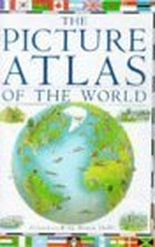
This picture atlas covers every continent and country in the world. The three-dimensional maps show mountains, rivers, volcanoes, geysers, glaciers, buildings, places of interest, people and animals. There are facts about each country, and features on capital cities and national wonders.
The feel-good place to buy books
- Free delivery in the UK
- Supporting authors with AuthorSHARE
- 100% recyclable packaging
- B Corp - kinder to people and planet
- Buy-back with World of Books - Sell Your Books
Picture Atlas of the World (Revised-3rd Edition) by Richard Kemp
This picture atlas covers every continent and country in the world and includes the independent states in Yugoslavia and the former USSR. Three-dimensional maps show mountains, rivers, volcanoes, geysers and glaciers, and buildings, places of interest, people, animals, crops and plants, food and national sports. Each map is supported by boxed features giving facts about the countries, accompanied by colour photographs highlighting some aspect of the scenery or wildlife. The national flags of every country in the world are included, as well as special illustrated features on capital cities and national wonders such as the Taj Mahal and the Great Rift Valley.| SKU | Non disponible |
| ISBN 13 | 9780751353587 |
| ISBN 10 | 0751353582 |
| Titre | Picture Atlas of the World (Revised-3rd Edition) |
| Auteur | Richard Kemp |
| État | Non disponible |
| Type de reliure | Hardback |
| Éditeur | Dorling Kindersley Ltd |
| Année de publication | 1996-04-04 |
| Nombre de pages | 64 |
| Note de couverture | La photo du livre est présentée à titre d'illustration uniquement. La reliure, la couverture ou l'édition réelle peuvent varier. |
| Note | Non disponible |