Philip's 2019 Big Road Atlas Europe


Philip's 2019 Big Road Atlas Europe
Regular price
Checking stock...
Regular price
Checking stock...
The feel-good place to buy books
- Free UK delivery over £5
- 10% off preloved books when you join +Plus
- Buying preloved emits 46% less CO2 than new
- Give your books a new home - sell them back to us!
Philip's 2019 Big Road Atlas Europe by Philip's Maps
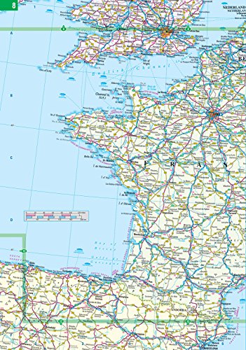
PHILIP'S: THE BEST-SELLING EUROPE ATLAS RANGE IN THE UK 'The clearest and most detailed maps of Europe' David Williams MBE, CEO Gem Motoring Assist 'The best of its kind with quick, easy-to-use information' Fleet Week Multiscale mapping - more detail where you need it Special feature for 2019 'Driving Abroad - a cautionary tale' with dashcam examples Philip's 2019 Big Road Atlas of Europe has: - Every country in Europe and Western Europe - Practical A3 format and spiral binding - more mapping to the page - Main scale super-clear 1:750,000 (12 miles to 1 inch) - 16-page route planning map section with 1,200 miles to a page - Three supplementary scales from 1:200,000 to 1:3M - helps navigation in denser areas - 50 town and city plans - 31 urban area maps - Scenic routes highlighted - Driving regulations country-by-country on European roads and local roads - Ski resorts feature - Distance chart - Fully indexed In fact, everything you need for your trip to Europe.| SKU | Unavailable |
| ISBN 13 | 9781849074773 |
| ISBN 10 | 1849074771 |
| Title | Philip's 2019 Big Road Atlas Europe |
| Author | Philip's Maps |
| Condition | Unavailable |
| Binding Type | Spiral bound |
| Publisher | Octopus Publishing Group |
| Year published | 2018-04-05 |
| Number of pages | 184 |
| Cover note | Book picture is for illustrative purposes only, actual binding, cover or edition may vary. |
| Note | Unavailable |